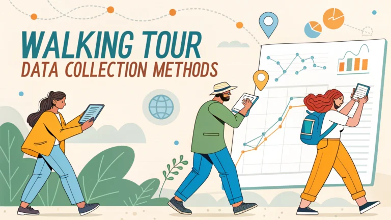
Data collection during walking tours helps organizations understand visitor behavior, improve tour experiences, and make informed decisions about future tour development.
Common Data Collection Methods
- Mobile App Tracking
- GPS location data
- Time spent at each stop
- Route deviations
- Audio guide usage
- Digital Surveys
- Post-tour feedback forms
- QR code checkpoints
- In-app questionnaires
Recommended Tools
| Tool | Best For | Features |
|---|---|---|
| IZI.travel | Tour Creation & Analytics | Usage statistics, heat maps |
| Google Forms | Feedback Collection | Free, easy to set up |
| Strava | Route Tracking | Path recording, time analysis |
Key Metrics to Track
- Completion rates
- Average tour duration
- Popular stopping points
- User demographics
- Weather conditions during tours
- Peak usage times
Implementation Tips
Add physical checkpoint markers or QR codes at key locations to track visitor progress.
Include optional photo submission features to understand which locations visitors find most interesting.
Set up automated email surveys that trigger 24 hours after tour completion.
Use heat mapping technology to identify areas where visitors commonly deviate from the planned route.
Data Privacy Considerations
- Obtain clear consent for data collection
- Anonymize personal information
- Store data securely
- Comply with local privacy laws
Analysis Methods
Compare data across different seasons and weather conditions to optimize tour timing and routing.
Use visitor feedback to identify areas needing more detailed information or better wayfinding.
Track demographic patterns to tailor marketing efforts and tour content.
Recommended Software Solutions
- VoiceMap – Audio tour creation with built-in analytics
- TourBuilder – Custom tour development platform
- Locuwise – Location-based visitor tracking
Contact leading tour software providers for demos and pricing: VoiceMap (https://voicemap.me/tour-creators) or IZI.travel (https://izi.travel/en/partners).
Cost Analysis
- Initial Investment
- Software licensing fees
- Hardware installation costs
- Staff training expenses
- QR code generation and placement
- Ongoing Expenses
- Monthly subscription fees
- Data storage costs
- Maintenance and updates
- Analytics processing
Best Practices for Data Collection
Before Implementation
- Define clear objectives and KPIs
- Test collection methods with small groups
- Train staff on data collection protocols
- Create backup systems for data storage
During Collection
- Monitor data quality in real-time
- Address technical issues promptly
- Maintain consistent collection methods
- Document any anomalies or special events
Future Trends
- Emerging Technologies
- Augmented reality integration
- AI-powered route optimization
- Predictive analytics
- Blockchain for data security
Conclusion
Effective data collection during walking tours requires careful planning, appropriate tools, and consistent implementation. Organizations should focus on balancing comprehensive data gathering with visitor privacy and experience quality. Regular analysis of collected data enables continuous improvement of tour offerings and helps create more engaging experiences for visitors.
Success in tour data collection depends on selecting the right combination of tools, maintaining proper privacy protocols, and regularly updating methods based on technological advances and visitor needs. Investment in robust data collection systems typically yields significant returns through improved tour quality and increased visitor satisfaction.
FAQs
- What equipment and tools do you need to effectively collect data during a walking tour?
A GPS device or smartphone with mapping capabilities, a digital camera or smartphone camera, a notebook or digital device for notes, comfortable walking shoes, and a simple measuring tool like a pedometer or distance tracker. - What are the most reliable methods for recording points of interest during a self-guided walking tour?
Using GPS coordinates with photographs, creating timestamped notes, marking locations on digital maps, and using specialized tour mapping apps that allow for real-time data input and waypoint marking. - How can you accurately measure distances between stops on a walking tour route?
Use GPS tracking apps, pedometers, or mapping tools like Google Maps to measure point-to-point distances. For greater accuracy, walk the route multiple times and average the measurements. - What’s the best way to document historical information during data collection?
Cross-reference information with official historical records, take photographs of historical markers, record audio notes, and maintain a structured digital database with dates, facts, and source citations. - How do you ensure the accessibility data you collect is accurate and useful?
Document step counts, surface conditions, presence of ramps and handrails, measure inclines where possible, note rest areas, and record bathroom locations and their accessibility features. - What are the essential timing elements to record during tour data collection?
Average walking time between stops, time needed at each point of interest, total route duration at different walking speeds, and optimal times of day to visit specific locations. - How should you document potential hazards or safety concerns along the route?
Note traffic patterns, crossing points, lighting conditions, uneven surfaces, seasonal weather impacts, and areas with limited visibility or cellular reception. - What’s the most effective way to organize collected tour data?
Use digital spreadsheets or specialized tour planning software, organize information by categories (historical, cultural, practical), maintain clear file naming conventions, and create backup copies of all data. - How do you validate the accuracy of collected tour data?
Conduct multiple walk-throughs, verify information with local historical societies or official sources, cross-reference with existing tours, and get feedback from test participants. - What weather and seasonal factors should be documented during data collection?
Record seasonal route variations, note shade coverage, document weather-dependent features, identify indoor alternatives, and note seasonal operating hours of facilities along the route.