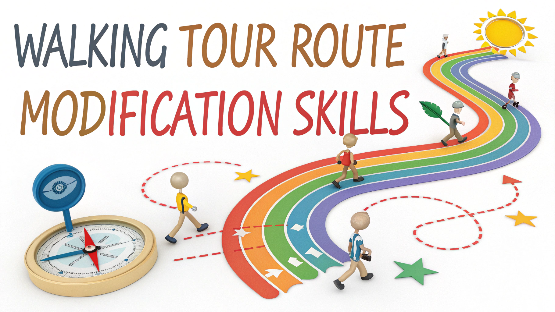
Modifying walking tour routes requires both planning skills and adaptability to create engaging self-guided experiences.
Route Planning Basics
Start by mapping out points of interest within walking distance of each other, considering factors like distance, terrain, and accessibility.
- Use Google Maps to measure walking times
- Check for seasonal closures or construction
- Plan bathroom and rest stop locations
- Research public transportation options
- Note photo opportunities and viewpoints
Safety Considerations
Always include alternate routes and escape points in case of weather changes or emergencies.
- Avoid isolated areas after dark
- Include well-lit streets in evening routes
- Note police station locations
- Research cell phone coverage areas
Time Management Tips
Factor in realistic walking speeds and stopping times when planning route modifications.
| Activity | Time to Allow |
|---|---|
| Photo stops | 5-10 minutes each |
| Historical sites | 15-20 minutes each |
| Rest breaks | 10-15 minutes per hour |
| Museum visits | 45-60 minutes minimum |
Route Modification Tools
These digital tools help create and modify walking routes effectively:
- Komoot – For route planning with terrain info
- AllTrails – For user reviews and trail conditions
- Google Maps – For real-time updates and accessibility info
- Roadtrippers – For finding points of interest
Accessibility Modifications
Consider these elements when modifying routes for accessibility:
- Sidewalk conditions and curb cuts
- Elevator locations in buildings
- Ramp availability
- Surface types (cobblestone, gravel, pavement)
- Rest area frequency
Weather Adaptations
Include these alternate options for weather-related route changes:
- Indoor pathway alternatives
- Covered rest areas
- Shopping arcade shortcuts
- Public transportation backup routes
Documentation Tips
Record these key details when modifying routes:
- GPS coordinates for key points
- Opening hours of attractions
- Contact numbers for local assistance
- Recent route changes or construction
- Seasonal variations
Test modified routes personally before finalizing changes to ensure accuracy and enjoyment.
Keep digital and printed copies of both original and modified routes for reference.
Update route modifications seasonally or after significant local changes.
Group Size Adaptations
Modify routes based on group dynamics and size requirements:
- Wider paths for larger groups
- Meeting points for split groups
- Alternative gathering spaces
- Multiple guide stopping positions
Cultural Considerations
Adapt routes to accommodate cultural preferences and requirements:
- Prayer time locations
- Dietary restriction-friendly rest stops
- Gender-specific facilities
- Cultural sensitivity zones
Special Event Modifications
Consider these factors when adapting routes during special events:
- Festival road closures
- Parade routes and times
- Temporary exhibits
- Seasonal attractions
Route Testing Protocol
Follow these steps when testing modified routes:
| Testing Phase | Key Actions |
|---|---|
| Initial walk-through | Time measurement, obstacle identification |
| Accessibility check | Surface testing, entrance verification |
| Safety evaluation | Lighting assessment, escape route confirmation |
| Final validation | Full route timing, stop point verification |
Conclusion
Successful walking tour route modifications require careful planning, regular updates, and attention to diverse user needs. Maintain flexibility in route design while ensuring safety and accessibility remain top priorities. Regular testing and documentation of changes help create sustainable, enjoyable walking experiences for all participants.
Remember to:
- Review modifications quarterly
- Gather participant feedback
- Update digital resources
- Monitor local development changes
- Maintain emergency route options
FAQs
- How do I effectively modify a walking tour route if I encounter road closures or construction?
Check local city websites for construction updates, have backup parallel streets mapped out, and use navigation apps to find quick detours while maintaining the main points of interest on your route. - What factors should I consider when adjusting a walking tour for different fitness levels?
Consider total distance, elevation changes, frequency of rest stops, alternate shortcuts, and availability of public transportation for bailout points. - How can I modify a walking tour route for different weather conditions?
Include covered walkways, indoor shortcuts through public buildings, nearby shelter options, and alternative indoor attractions that align with the tour’s theme. - What’s the best way to alter a walking route to accommodate time constraints?
Prioritize must-see attractions, identify logical cut-off points, and create loops that return to the starting point at different intervals. - How do I adapt a walking tour route for accessibility needs?
Map out step-free routes, locate ramps and elevators, identify smooth pavement sections, and note accessible restrooms and rest areas. - What’s the recommended method for adding or removing stops from an existing walking tour?
Maintain logical flow between points, ensure reasonable walking distances between stops, and adjust the narrative connections to maintain the tour’s cohesive theme. - How can I modify a walking tour route to avoid high-traffic areas during peak times?
Research local rush hours, plan alternate residential street routes, and identify parallel quieter streets that still showcase area highlights. - What tools should I use to measure and adjust walking distances when modifying a route?
Use mapping tools like Google Maps, GPS tracking apps, or dedicated walking tour apps that calculate distances and walking times accurately. - How do I ensure safety when modifying a walking tour route?
Check crime statistics for different areas, stick to well-lit streets, verify neighborhood safety ratings, and maintain proximity to public transportation and emergency services. - What’s the best way to document and share modified walking tour routes with others?
Use digital mapping tools, create shareable GPS tracks, include clear written directions with landmarks, and add photos of key navigation points.