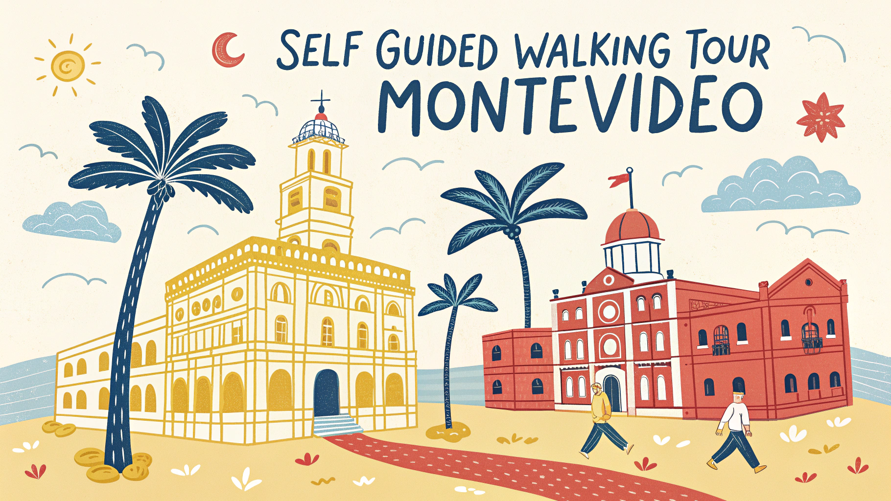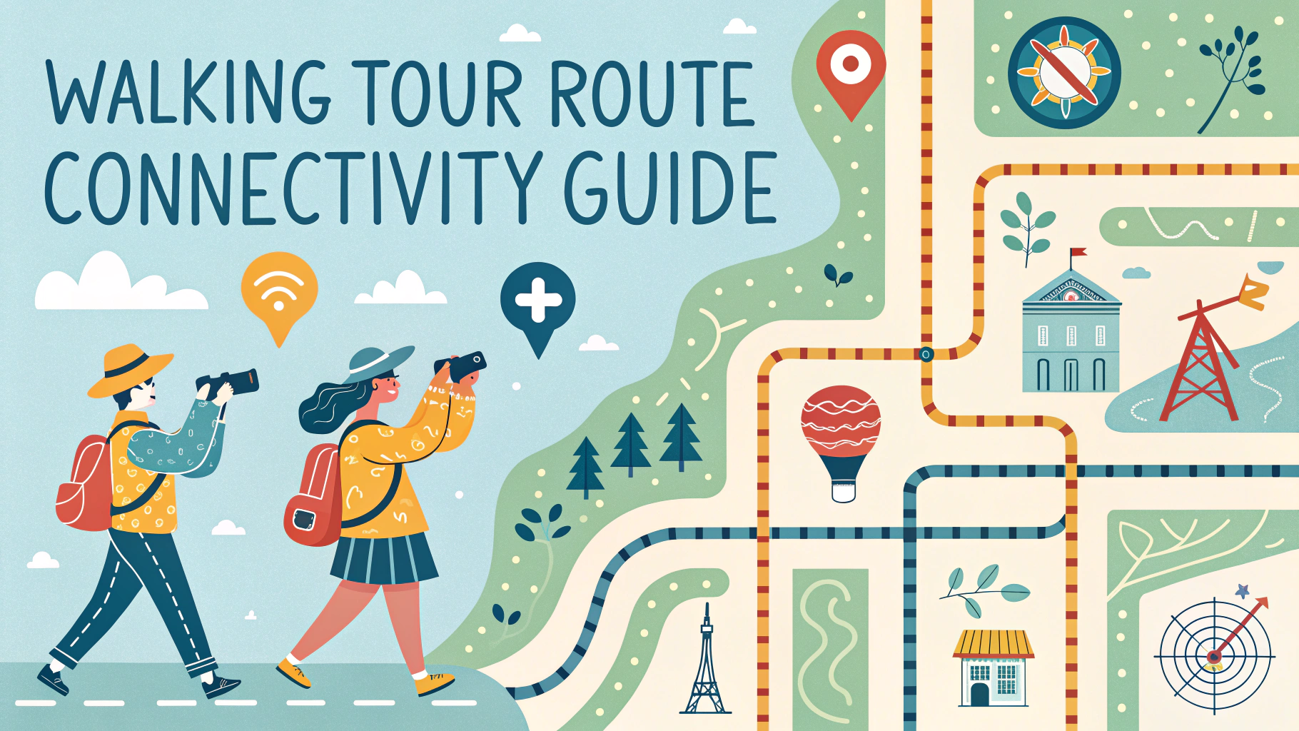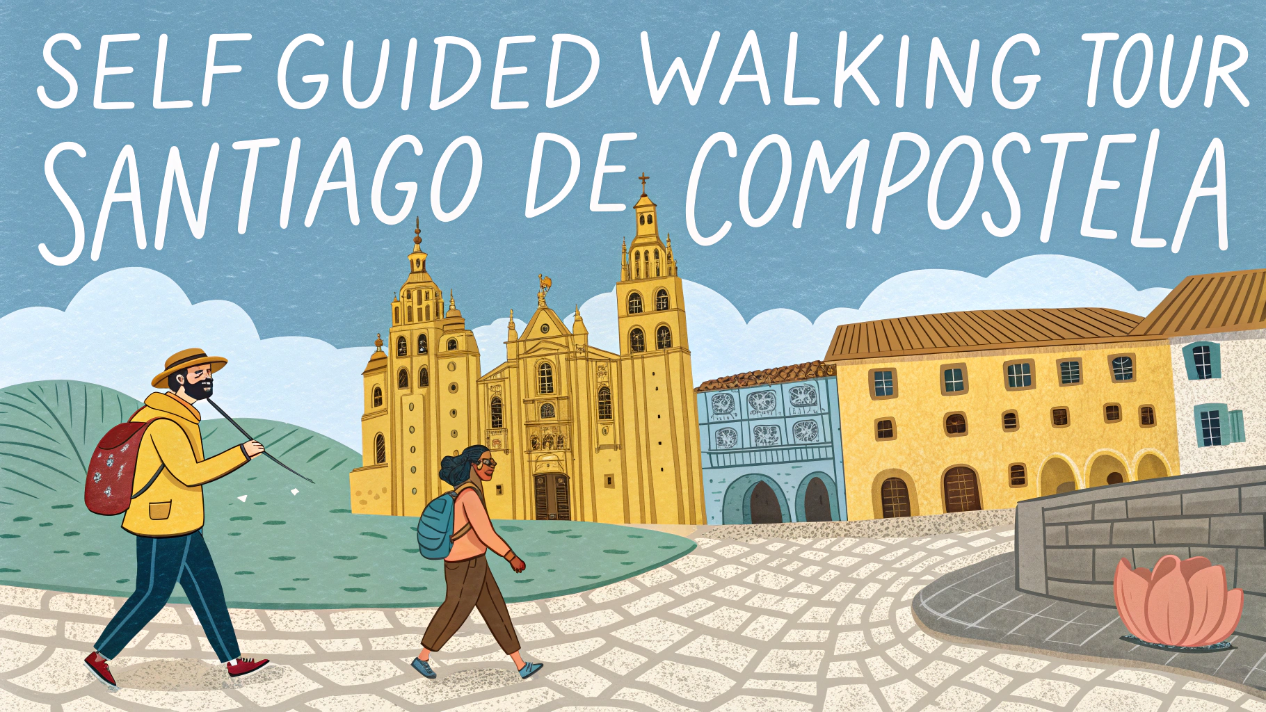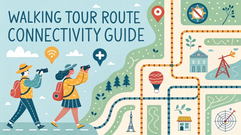
Connecting walking tour routes effectively maximizes sightseeing opportunities while minimizing backtracking and wasted time.
A well-planned walking tour route links major attractions, scenic spots, and rest areas in a logical sequence.
Essential Route Planning Tips
- Plot attractions on a digital map before starting
- Check walking distances between points
- Identify public transport hubs near start/end points
- Mark restroom locations and rest stops
- Note cafe and restaurant options along the way
Route Optimization Strategies
Start and end points should connect to public transportation for easy access.
- Create circular routes when possible
- Include alternate shortcuts for weather or tiredness
- Plan routes through pedestrian-friendly areas
- Account for elevation changes and stairs
Time Management
| Distance | Average Walking Time | With Stops |
|---|---|---|
| 1 mile/1.6 km | 20 minutes | 45 minutes |
| 2 miles/3.2 km | 40 minutes | 1.5 hours |
| 3 miles/4.8 km | 1 hour | 2.5 hours |
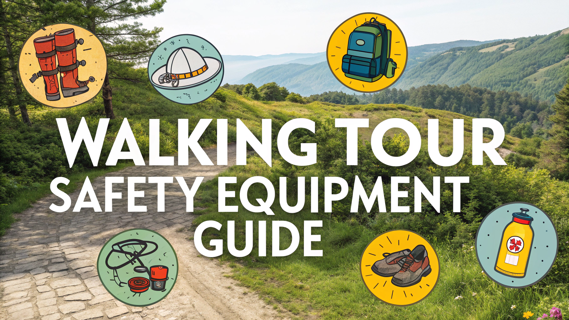
Safety Considerations
- Plan routes through well-lit, populated areas
- Include emergency exit points
- Note locations of police stations and hospitals
- Check neighborhood safety ratings
Tech Tools for Route Planning
- Google Maps: Create custom routes with multiple stops
- MapMyWalk: Track distances and elevation
- Komoot: Detailed walking navigation
- Citymapper: Public transport integration
Route Documentation
Save route information in multiple formats for backup access.
- Screenshot maps
- Download offline maps
- Print paper copies
- Save GPS coordinates of key points
Test the complete route during off-peak hours before finalizing the tour.
Accessibility Considerations
- Mark wheelchair-accessible paths
- Note locations of elevators and ramps
- Include surface conditions (cobblestone, gravel, pavement)
- Identify step-free routes
Regular route maintenance checks ensure continued accessibility and safety for all walkers.
Group Size Adaptations
- Adjust route width for different group sizes
- Include gathering points for large groups
- Plan photo opportunities with adequate space
- Consider acoustic requirements for guide presentations
Seasonal Adjustments
Summer Routes
- Prioritize shaded pathways
- Include water fountain locations
- Plan indoor cooling stops
- Schedule around peak heat hours
Winter Routes
- Choose well-maintained, ice-free paths
- Include indoor warming stations
- Plan shorter segments between stops
- Note covered walkways and arcades
Cultural Integration
- Connect historical narratives through route design
- Include local community highlights
- Mark cultural significance points
- Note architectural evolution along route
Conclusion
Successful walking tour routes require careful planning and regular updates to maintain quality and safety. Balance efficiency with experience by considering seasonal changes, accessibility needs, and group dynamics. Regular assessment and feedback integration ensure routes remain engaging and practical for all participants.
Document changes and maintain flexible alternatives to accommodate unexpected circumstances. Prioritize visitor experience while maintaining scheduling efficiency and safety standards.
FAQs
- What is the best way to plan a self-guided walking tour route for optimal connectivity?
Map out points of interest in a logical sequence, considering proximity between stops. Use mapping tools like Google Maps to plot the most efficient route, minimize backtracking, and ensure stops are within reasonable walking distance of each other. - How do I determine the ideal distance between stops on my walking tour?
Keep stops within 5-10 minutes walking distance of each other (approximately 400-800 meters). This maintains engagement while preventing fatigue and allows time for exploration at each location. - What should I consider when planning the total length of a self-guided walking tour?
A comfortable walking tour typically ranges from 2-4 kilometers for a 2-hour tour. Consider your audience’s fitness level, available time, and points of interest. Include options for shorter routes or public transport connections for flexibility. - How can I ensure my walking tour route is accessible for all participants?
Check for sidewalk conditions, stairs, hills, and accessibility ramps. Note areas with benches for resting, public restrooms, and alternative routes to avoid obstacles. Include this information in your route description. - What are the essential elements to include in each tour stop?
Each stop should have clear directions to the next location, historical or cultural significance, estimated walking time to next stop, and relevant photographs or landmarks for easy identification. - How do I handle unexpected route closures or construction?
Include alternate routes for each segment of the tour, mark nearby parallel streets as backup options, and regularly update route information. Consider providing real-time updates through a digital platform. - What safety considerations should be included in route planning?
Choose well-lit streets, avoid isolated areas, mark safe street crossings, and include information about high-traffic times. Note nearby police stations, information centers, and emergency contact numbers. - How can I make my walking tour route weather-friendly?
Include covered areas and indoor alternatives along the route, mark locations of weather shelters, and provide seasonal route variations. Note which sections might be affected by adverse weather conditions. - What technology tools are most useful for creating self-guided walking tours?
GPS mapping applications, audio guide platforms, downloadable offline maps, and QR codes for additional information. Consider using dedicated walking tour apps that offer turn-by-turn navigation. - How should I structure the timing of stops along the route?
Allow 10-15 minutes per major stop and 5 minutes for minor stops. Include flexible timing options and clearly mark points where tours can be shortened or extended based on participant preferences.