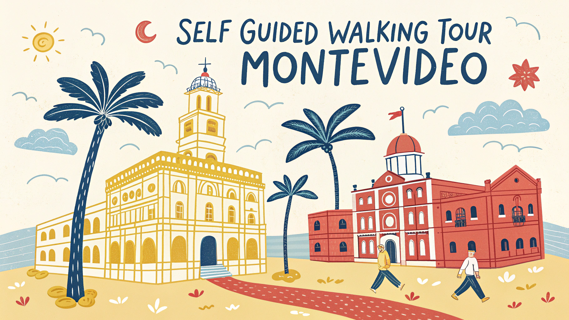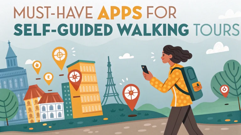
Self-guided walking tours have transformed how we explore cities, and having the right apps can make your experience smoother and more enriching.
Maps.me stands out as an essential offline mapping app that allows you to download detailed city maps and navigate without using data.
Must-Have Navigation Apps
- Google Maps – Download offline maps, save custom points, and access user reviews
- Citymapper – Excellent for public transit integration and walking directions in major cities
- AllTrails – Perfect for urban and nature trails with user-generated content
Audio Guide Apps
- Rick Steves Audio Europe – Free, high-quality walking tours for major European cities
- VoiceMap – Location-aware audio tours created by local experts
- PocketGuide – Audio guides with offline maps for 150+ cities
Historical and Cultural Context Apps
- Google Lens – Point your camera at buildings or landmarks for instant information
- Wikipedia – Offline access to detailed articles about attractions
- Culture Trip – Local insights and curated walking routes
Practical Tools
- Weather apps (AccuWeather, Dark Sky) – Plan your walks around weather conditions
- XE Currency – Quick currency conversions for shopping and dining
- Google Translate – Offline translation and sign reading capabilities
Download these apps before your trip and test them at home to ensure familiarity with their features.
Safety and Navigation Tips
- Keep your phone charged with a portable battery pack
- Download offline maps and content before your trip
- Enable location services for better accuracy
- Share your location with trusted contacts
Most of these apps offer free versions with premium features available through subscriptions or one-time purchases.
Recommended App Combinations
| Purpose | Primary App | Backup App |
|---|---|---|
| Navigation | Maps.me | Google Maps |
| Audio Tours | VoiceMap | Rick Steves Audio Europe |
| Information | Google Lens | Wikipedia |
Regular app updates ensure you have access to the latest maps and features, so check for updates before each trip.
Additional Features to Consider
- Social Integration – Apps that connect with social media for sharing routes and discoveries
- Augmented Reality – Enhanced navigation with real-time camera overlays
- Offline Capability – Essential for areas with poor connectivity
- User Community – Access to reviews, tips, and recent updates from other travelers
Customization Options
- Route Planning – Create and save custom walking routes
- Points of Interest – Mark favorite locations and must-see spots
- Time Management – Estimated walking times and schedule planning
- Accessibility Features – Options for different mobility needs
Budget Considerations
- Free apps with ads versus premium versions
- One-time purchase versus subscription models
- Data usage costs when offline modes aren’t available
- Bundle deals for multiple city guides
Conclusion
Self-guided walking tours provide flexibility and independence while exploring new cities. The right combination of apps enhances this experience by offering reliable navigation, rich cultural context, and practical tools. Regular updates and familiarization with these apps before travel ensure a smooth and enriching journey.
Final Checklist
- Test all apps before departure
- Ensure sufficient storage space for offline content
- Set up necessary accounts and permissions
- Configure backup options for essential features
FAQs
1. What are the most essential apps for self-guided walking tours?
Recommended essential apps include Google Maps, Maps.me, AllTrails, GPSmyCity, Rick Steves Audio Europe, PocketGuide, and Komoot. These apps offer offline maps, navigation, and audio guides for various destinations.
2. Do I need internet connection to use walking tour apps?
Most quality walking tour apps offer offline functionality. Apps like Maps.me and GPSmyCity allow you to download maps and tour content beforehand, so you can use them without data or WiFi connection.
3. Are walking tour apps typically free or paid?
Many apps offer basic features for free but require payment for premium content like detailed guided tours, offline access, or ad-free experience. Apps like GPSmyCity often charge per city guide or offer subscription options.
4. How accurate are GPS features in walking tour apps?
GPS accuracy in walking tour apps is generally within 5-20 meters, depending on your device and location conditions. Urban areas with tall buildings may experience occasional GPS interference.
5. Can I create custom walking routes in these apps?
Yes, apps like Google Maps, Komoot, and AllTrails allow users to create, save, and share custom walking routes. You can add waypoints, points of interest, and personal notes to your routes.
6. What features should I look for in a walking tour app?
Essential features include offline maps, GPS tracking, audio guides, detailed descriptions of attractions, user reviews, customizable routes, photo spots, and emergency information such as nearest facilities.
7. How much storage space do walking tour apps typically require?
Storage requirements vary by app and content downloaded. City guides typically range from 50MB to 200MB per city, while comprehensive apps with offline maps can require 1GB or more of storage space.
8. Are walking tour apps safe to use in unfamiliar areas?
Yes, but always remain aware of your surroundings. Most apps include safety features like emergency contacts, well-traveled routes, and neighborhood information. Use them in conjunction with basic travel safety practices.
9. Can these apps work with my phone’s camera for AR features?
Some advanced walking tour apps like Google Maps Live View and Lonely Planet Guides incorporate augmented reality (AR) features, overlaying directions and information when you point your phone’s camera at buildings or streets.
10. How much battery life do walking tour apps consume?
Walking tour apps can be battery-intensive due to constant GPS usage. They typically consume 10-20% of battery life per hour of use. Carrying a portable charger is recommended for longer tours.