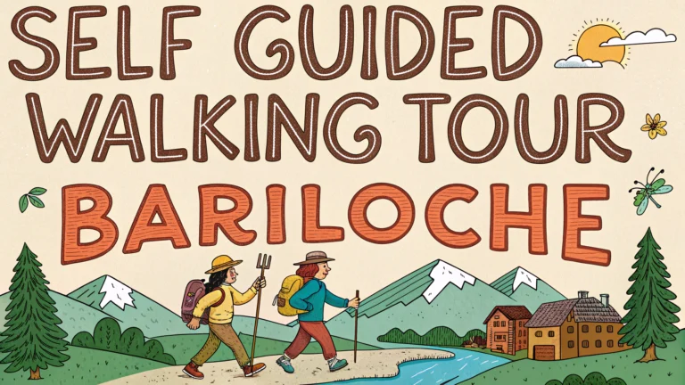
Bariloche’s stunning Patagonian landscapes and lakeside vistas make it perfect for self-guided walking tours.
Essential Walking Routes
Centro Cívico Loop (1-2 hours)
- Start: Plaza de los Pioneros
- Key stops: Centro Cívico building, Mitre Street, Cathedral of San Carlos de Bariloche
- Best time: Early morning or late afternoon to avoid crowds
Circuito Chico (4-5 hours on foot)
- Starting point: Llao Llao Hotel
- Highlights: Puerto Pañuelo, López Bay, Punto Panorámico
- Distance: 25 km (can be split into sections)
Cerro Otto Base Trail (2-3 hours)
- Trailhead: Otto Avenue
- Difficulty: Moderate
- Views: Lake Nahuel Huapi, Andean peaks
Practical Tips
Download offline maps using apps like Maps.me before starting your walk.
Wear layers as Patagonian weather can change quickly.
Carry water and snacks, especially on longer routes.
Safety Information
Tourist Police: +54 294 442-2772 (available 24/7)
Emergency number: 911
Best Seasons for Walking
| Season | Weather | Recommendation |
|---|---|---|
| Spring (Sep-Nov) | Mild, occasional rain | Excellent for walking |
| Summer (Dec-Feb) | Warm, dry | Best overall |
| Fall (Mar-May) | Cool, colorful foliage | Beautiful landscapes |
| Winter (Jun-Aug) | Cold, possible snow | Limited walking conditions |
Equipment Checklist
- Comfortable walking shoes
- Weather-appropriate clothing
- Sunscreen and hat
- Camera
- Small backpack
- Water bottle
Local tourism office (www.barilocheturismo.gob.ar) provides free walking maps and updated trail conditions.
Recommended Stops for Photos
- Centro Cívico clock tower
- Nahuel Huapi Lake viewpoint
- López Bay sunset spot
- Llao Llao Hotel gardens
Most walking routes are accessible from 8:00 AM to 8:00 PM during summer months (shorter hours in winter).
Transportation Connections
- Public buses run to major trailheads every 30 minutes
- Taxi services available for remote starting points
- Free parking available at Circuito Chico and Cerro Otto
Rest Stops and Facilities
Centro Cívico Area
- Public restrooms near Plaza de los Pioneros
- Multiple cafes and restaurants
- Tourist information center
Circuito Chico Route
- Restrooms at Llao Llao Hotel
- Small kiosks at viewpoints
- Picnic areas along López Bay
Guided Tour Options
- Daily walking tours from Centro Cívico (2 hours)
- Historical route guides available at tourism office
- Private guides bookable for custom routes
Conclusion
Bariloche’s walking routes offer diverse experiences for all fitness levels, from short city strolls to challenging mountain paths. The well-maintained trails and clear signage make self-guided tours accessible year-round, with summer and spring providing optimal conditions. Visitors should always check current weather conditions and trail status before departing, and carry appropriate gear for Patagonian conditions.
For the latest trail updates and temporary closures, consult the local tourism office or visit their website.
FAQs
- What is the best time of year for a self-guided walking tour in Bariloche?
Summer months (December to February) offer the best weather conditions with temperatures between 18-25°C. Spring (October-November) and Fall (March-April) are also pleasant with fewer tourists. - Which are the must-visit walking routes in Bariloche’s city center?
The Civic Center, Mitre Street, and the Cathedral of Our Lady of Nahuel Huapi form the essential walking circuit. The chocolate shops along Mitre Street are particularly notable. - How long is the famous Circuito Chico walking route?
The complete Circuito Chico is 27 kilometers, but can be broken down into smaller walking segments. The most popular walking section from Llao Llao to Bahía López is approximately 8 kilometers. - Do I need special permits for self-guided walks in Nahuel Huapi National Park?
Basic walks in the park require an entrance fee ticket, but no special permits. However, for longer treks or overnight hikes, you need to register at the park office. - What safety precautions should I take for self-guided walks in Bariloche?
Carry water, wear appropriate footwear, bring layers of clothing, inform someone of your route, carry a map, and download offline maps. Weather can change rapidly in the Andean region. - Are the walking trails in Bariloche well-marked?
City center trails are well-marked. National park trails have color-coded markers, but some remote paths may have limited signage. It’s recommended to carry a trail map. - Can I combine public transportation with walking tours in Bariloche?
Yes, local buses (especially lines 10 and 20) can take you to various trailheads. The SUBE card is used for public transportation payments. - What is the difficulty level of Cerro Campanario hiking trail?
The Cerro Campanario trail is moderate, with a steep 30-40 minute ascent covering 300 meters of elevation gain. There’s also a chairlift option available. - Are there guided alternatives if I don’t want to walk alone?
Yes, Club Andino Bariloche offers guided walks, and numerous local agencies provide walking tours in multiple languages, particularly from the tourist office at the Civic Center. - What should I carry in my daypack for walks around Bariloche?
Essential items include water, sunscreen, hat, rain jacket, camera, trail map, some snacks, and cash for entrance fees or emergencies. In winter, add extra warm layers.