The Cordillera Real mountain range stretches over 125km through Bolivia, offering some of South America’s most spectacular high-altitude trekking routes.
This self-guided walking tour takes you through ancient Inca trails, past towering 6000m peaks, and alongside pristine mountain lakes known as lagunas.
Essential Trek Details
- Duration: 3-8 days (depending on route choice)
- Difficulty: Moderate to challenging
- Best time: May to September (dry season)
- Starting point: La Paz
- Maximum altitude: 5000m
Recommended Routes
| Trail Name | Duration | Highlights |
|---|---|---|
| Condoriri Circuit | 3-4 days | Condoriri peak, Lake Chiar Khota |
| Huayna Potosi Base Camp | 2 days | Glacier views, alpine meadows |
| Tuni-Condoriri | 4-5 days | Multiple lakes, traditional villages |
Essential Preparation
- Acclimatize in La Paz for 2-3 days before starting
- Purchase detailed maps from Club Andino Boliviano in La Paz
- Register your trek with local authorities
- Pack appropriate high-altitude gear and warm clothing
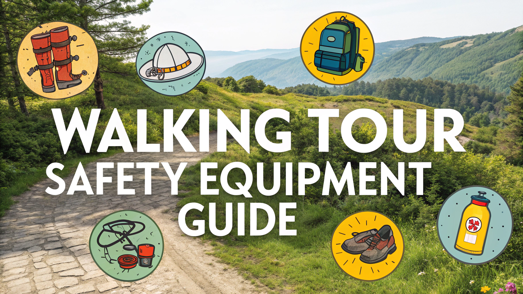
Required Equipment
- Navigation: Compass, maps, GPS device
- Weather Protection: 4-season tent, -10°C sleeping bag
- Clothing: Multiple warm layers, waterproof jacket/pants
- Safety: First aid kit, emergency beacon, headlamp
Transportation
Regular minibuses leave from La Paz to trail starting points like Tuni and Condoriri base camp every morning from Terminal de Minasa.
Water Sources
Mountain streams and lakes provide water sources throughout the trek, but always carry water purification tablets or filters.
Camping Spots
- Lake Chiar Khota (4600m)
- Jankho Khota Valley (4400m)
- Base Camp Condoriri (4700m)
Emergency Contacts
- Mountain Rescue: +591 2 2750838
- La Paz Emergency: 165
- Tourist Police: +591 2 2451307
Local Guide Services
While this is a self-guided trek, local guides can be hired through Club Andino Boliviano (www.clubandinoboliviano.org) if needed.
Safety Tips
- Never trek alone
- Check weather forecasts daily
- Carry emergency oxygen
- Start early to avoid afternoon storms
- Stay on marked trails
Altitude Sickness Prevention
- Climb high, sleep low
- Stay hydrated (4-5 liters daily)
- Take regular rest days
- Consider preventive medication (consult doctor)
Weather Conditions
- Daytime temperatures: 10-15°C
- Night temperatures: -5 to -10°C
- Afternoon thunderstorms common
- Strong UV exposure at altitude
- Sudden weather changes possible
Trail Markings
Trails are marked with cairns (rock piles) and occasional red paint marks. Some sections require basic navigation skills, particularly in foggy conditions.
Cultural Considerations
- Respect local communities and their customs
- Ask permission before photographing locals
- Support local economies when possible
- Pack out all waste
Wildlife Encounters
- Andean condors
- Vicuñas and llamas
- Andean foxes
- Various highland birds
Communication
Cell phone coverage is limited to non-existent. Satellite phones or emergency beacons are recommended for remote sections.
Conclusion
The Cordillera Real offers a challenging but rewarding trekking experience for prepared adventurers. Success depends on thorough preparation, respect for altitude, and careful attention to weather conditions. While demanding, the spectacular mountain views and pristine wilderness make it one of South America’s premier trekking destinations.
Additional Resources
- Bolivian Alpine Club website
- Local weather service: SENAMHI Bolivia
- La Paz tourist information office
- Regional trekking guides and maps
FAQs
- What is the best time of year to do a self-guided trek in Cordillera Real?
The best time is during the dry season from May to September, with June to August offering the most stable weather conditions. Temperatures are cooler but skies are typically clear. - How high is the Cordillera Real and what altitude should I expect to trek?
The Cordillera Real ranges from 4,000m to 6,400m, with most trek routes occurring between 4,000m-5,000m. The highest trekking pass is Chachacomani at 5,392m. - Do I need technical climbing skills for a self-guided trek?
For standard trekking routes, no technical climbing skills are required. However, good navigation skills, high-altitude experience, and proper fitness are essential. - What permits are required for trekking in Cordillera Real?
No specific trekking permits are required for most routes, but some areas within national parks may require entrance fees. Always check with local authorities before starting your trek. - How long does a typical self-guided trek take in the Cordillera Real?
Most popular routes take 3-8 days, with the classic Condoriri to Huayna Potosí trek typically taking 4-5 days. - What essential gear do I need for a self-guided trek?
Essential gear includes warm clothing layers, rain gear, sturdy boots, sleeping bag rated for -10°C, tent, stove, water purification, map, compass/GPS, and adequate food supplies. - Where can I find reliable maps for self-guided trekking?
The German Alpine Club (DAV) produces the most reliable maps of the Cordillera Real. Digital maps can be found on platforms like Wikiloc and OpenStreetMap. - How do I handle water sources during the trek?
Water is available from streams and lakes throughout the range but must be treated. Carry water purification tablets or a filter, and always collect water from flowing sources above grazing areas. - What are the accommodation options along the trek?
Accommodation is primarily camping. There are some basic refugios (mountain huts) near popular peaks, but these should not be relied upon without advance confirmation. - How should I prepare for altitude in the Cordillera Real?
Spend at least 2-3 days acclimatizing in La Paz (3,650m) before starting your trek. Plan your route with gradual altitude gain, not exceeding 300-500m elevation gain per day when sleeping.