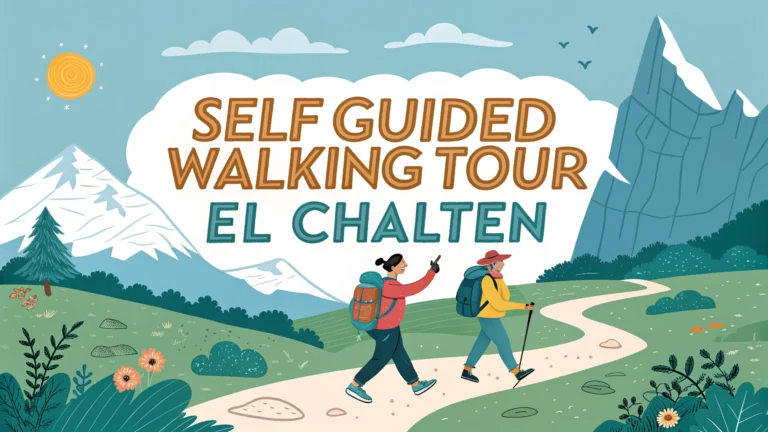
El Chaltén in Argentina’s Patagonia region offers some of South America’s most spectacular self-guided hiking trails.
Essential Trail Information
Most popular trails start directly from El Chaltén village, requiring no transportation or permits.
- Fitz Roy Trail (Sendero al Fitz Roy) – 8-9 hours round trip
- Cerro Torre Trail – 7-8 hours round trip
- Loma del Pliegue Tumbado – 6-7 hours round trip
- Mirador de los Cóndores – 2 hours round trip
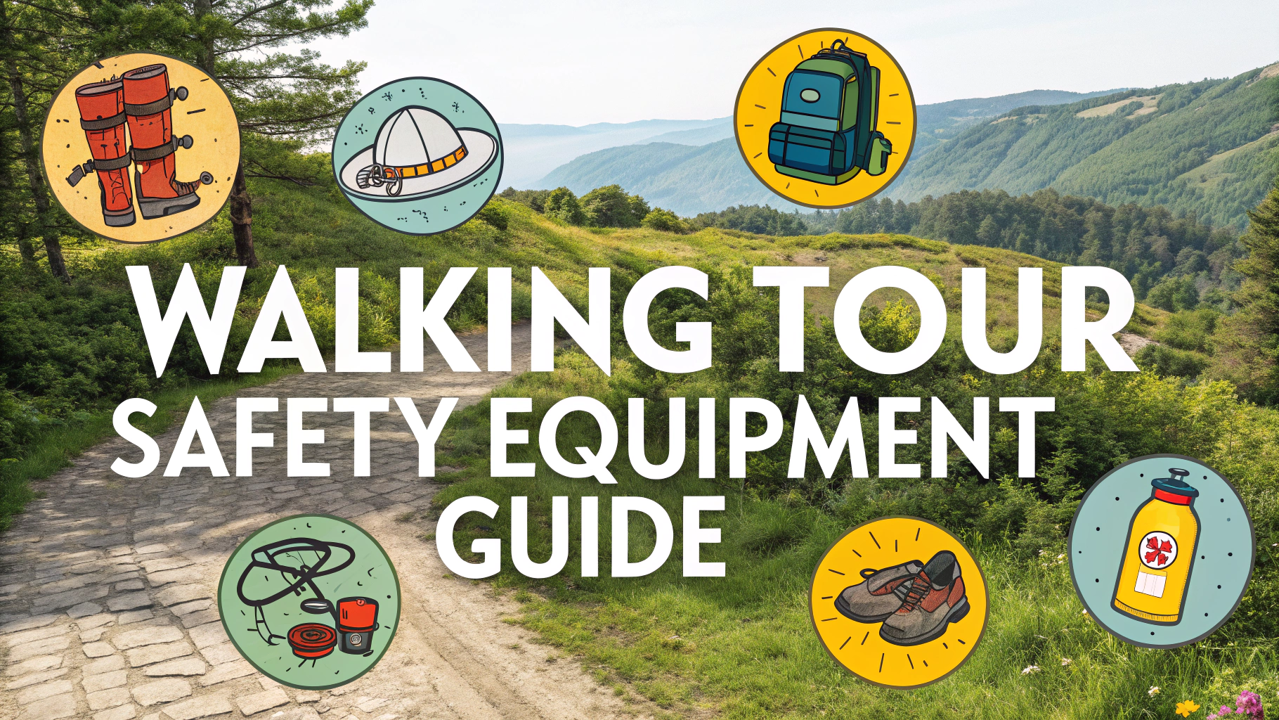
What to Pack
- Waterproof hiking boots
- Layered clothing (weather changes quickly)
- Rain jacket
- Water bottle (streams are safe to drink from)
- Trail map (available at ranger station)
- Snacks and lunch
- Camera
- First aid kit
Best Time to Hike
October through April offers the most favorable hiking conditions with longer daylight hours.
| Season | Conditions |
|---|---|
| Summer (Dec-Feb) | Peak season, mild temperatures, strongest winds |
| Spring/Fall | Less crowded, variable weather |
| Winter | Limited access, snow-covered trails |
Safety Tips
- Check weather forecasts at the ranger station before departing
- Register your hike at the park entrance
- Start early (before 8 AM) for day hikes
- Bring a headlamp in case you return after dark
- Stay on marked trails
Trail Difficulty Levels
- Easy: Mirador de los Cóndores, Chorrillo del Salto
- Moderate: Laguna Torre
- Challenging: Laguna de los Tres (Fitz Roy), Loma del Pliegue Tumbado
Emergency Contacts
Park Rangers: +54 2962 493004
Local Police: +54 2962 493001
Hospital El Chaltén: +54 2962 493003
Recommended Viewpoints
- Sunrise: Mirador de los Cóndores
- Sunset: Mirador del Torre
- Mountain Views: Laguna de los Tres
- Valley Views: Loma del Pliegue Tumbado
Trail Etiquette
- Pack out what you pack in
- Stay at least 50 meters from wildlife
- No fires allowed on trails
- Use designated restroom facilities
- Yield to uphill hikers
Trail Facilities
- Restrooms at trailheads and major viewpoints
- Resting benches at key intervals
- Clear trail markers and distance signs
- Emergency shelters on longer routes
- Water refill stations at ranger posts
Camping Information
Designated Camping Areas
- Campamento Poincenot (near Fitz Roy)
- Campamento De Agostini (Laguna Torre)
- Campamento Piedra del Fraile
Camping Rules
- Free camping in designated areas only
- Maximum stay of 2 nights per campsite
- Bear-proof food storage required
- No campfires permitted
Photography Tips
- Golden hour lighting at Fitz Roy: 1 hour before sunset
- Best reflection shots at Laguna Torre: early morning
- Wildlife photography: dawn and dusk at Mirador de los Cóndores
- Bring neutral density filters for waterfall shots
Conclusion
El Chaltén’s trail system offers world-class hiking experiences for all skill levels. Proper preparation, respect for weather conditions, and adherence to park guidelines ensure a safe and memorable adventure in Patagonia’s stunning wilderness. The accessible nature of these trails, combined with their spectacular views and well-maintained infrastructure, makes El Chaltén a premier hiking destination in South America.
FAQs
1. What is the best time of year to do self-guided walks in El Chaltén?
The peak hiking season in El Chaltén is from October to April (austral spring and summer), with December to February offering the most stable weather conditions and longest daylight hours.
2. Which are the main self-guided trails in El Chaltén?
The main trails include Laguna de los Tres (Mount Fitz Roy), Laguna Torre (Cerro Torre), Loma del Pliegue Tumbado, Mirador de los Cóndores, and Chorrillo del Salto.
3. Do I need special permits for hiking in El Chaltén?
No permits are required for day hikes in El Chaltén. The trails are part of Los Glaciares National Park and are free to access.
4. How difficult are the self-guided trails in El Chaltén?
Trails range from easy (Mirador de los Cóndores – 2 hours) to challenging (Laguna de los Tres – 8-9 hours). Most trails are well-marked but require moderate to good physical fitness.
5. What essential gear should I bring for hiking in El Chaltén?
Essential items include sturdy hiking boots, waterproof clothing, layers, hiking poles, sunscreen, water bottles, snacks, and a detailed trail map.
6. Is it safe to hike alone in El Chaltén?
Yes, the trails are well-marked and frequently used. However, it’s recommended to inform someone of your plans and carry emergency supplies due to rapidly changing weather conditions.
7. Where can I find reliable weather forecasts for hiking in El Chaltén?
Local weather forecasts are posted daily at the National Park Visitor Center in town, and reliable forecasts can be found at the Club Andino office.
8. Are there water sources along the trails?
Yes, most trails have access to mountain streams where you can refill water bottles. However, it’s recommended to use water purification methods or filters.
9. How long should I stay in El Chaltén to complete the main trails?
A minimum of 3-4 days is recommended to complete the main trails, with extra days as buffer for poor weather conditions.
10. Can I camp along the self-guided trails?
Yes, there are designated free camping areas at key points like Poincenot and De Agostini campsites. Camping is only allowed in these designated areas.