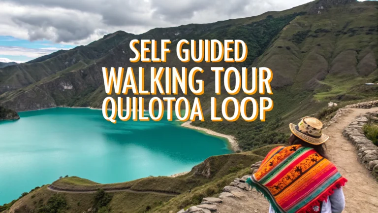
The Quilotoa Loop is a stunning multi-day hiking route through Ecuador’s remote Andean villages, centered around the emerald-green Quilotoa crater lake.
Quick Facts
- Duration: 3-4 days
- Difficulty: Moderate
- Starting Point: Latacunga
- Elevation: 2,800m – 3,900m
- Best Time: June to September
Recommended Route
The most popular route starts in Sigchos, continues through Isinlivi and Chugchilán, before reaching Quilotoa lake.
Day-by-Day Breakdown
- Day 1: Latacunga to Sigchos (bus), then hike to Isinlivi (4-5 hours)
- Day 2: Isinlivi to Chugchilán (5-6 hours)
- Day 3: Chugchilán to Quilotoa (6-7 hours)
Where to Stay
| Town | Recommended Hostel | Price Range (USD) |
|---|---|---|
| Isinlivi | Llullu Llama Hostel | 25-35 |
| Chugchilán | Cloud Forest Hostel | 20-30 |
| Quilotoa | Princesa Toa | 15-25 |
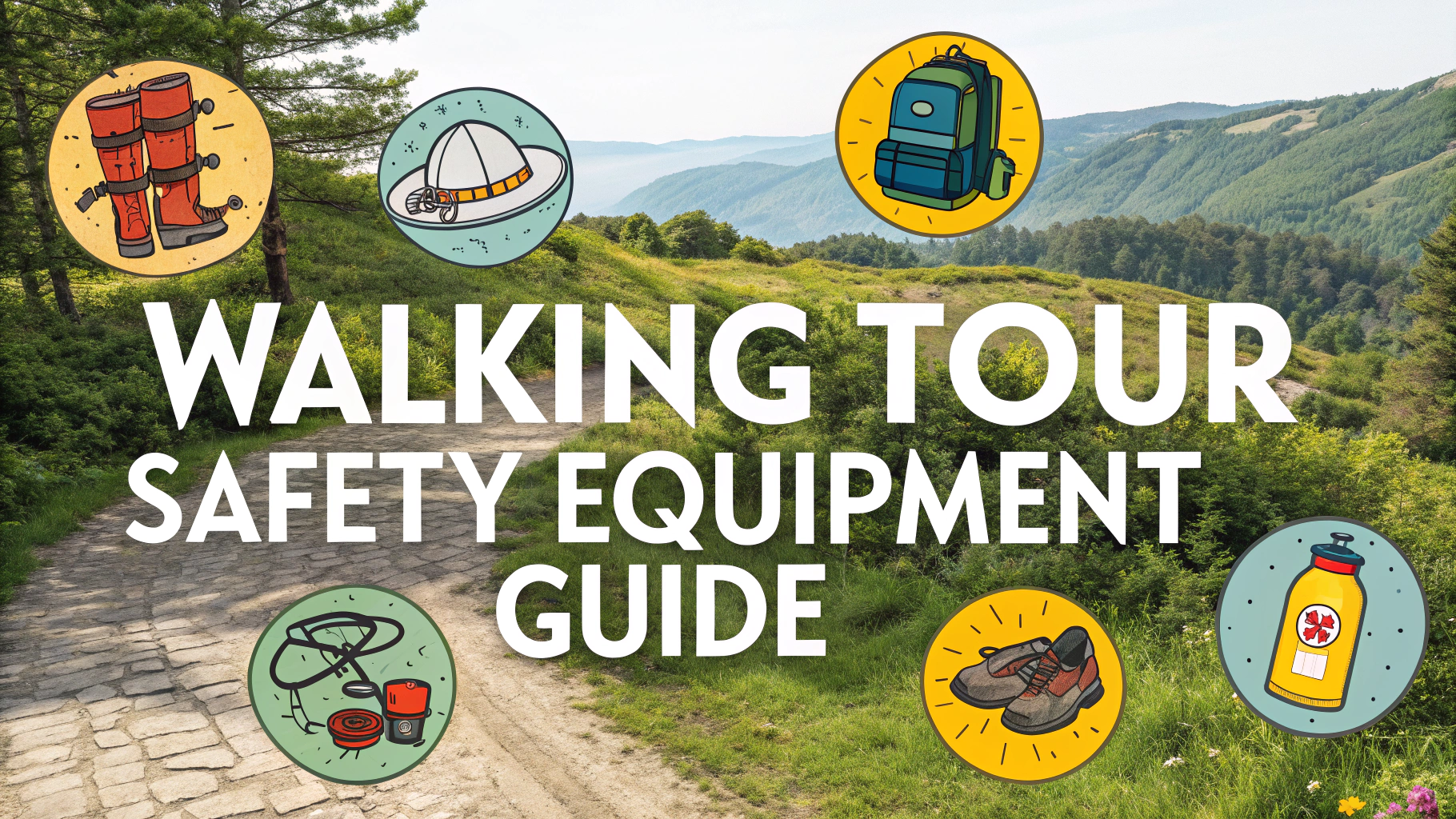
Essential Tips
- Download offline maps as cellular service is limited
- Bring warm clothing – temperatures drop significantly at night
- Book hostels in advance during peak season
- Carry sufficient water and snacks
- Start early each day to avoid afternoon rain
What to Pack
- Hiking boots or sturdy shoes
- Rain jacket
- Warm layers
- Sunscreen and hat
- Cash (ATMs are scarce)
- Basic first aid kit
Transportation
Buses run regularly from Latacunga to Sigchos (2 hours, $2.50) starting at 9:30 AM from Terminal Terrestre.
Safety Considerations
- Altitude sickness can affect hikers – acclimatize in Latacunga first
- Trails can become slippery after rain
- Dogs may be territorial – carry a stick for peace of mind
Contact local tourism office in Latacunga for updated conditions: +593 3-281-0786
Trail Conditions
Trail markings vary from well-signed to barely visible. Some sections follow dirt roads, while others traverse farmland and canyon edges. Terrain alternates between gentle slopes and steep inclines, with occasional river crossings.
Seasonal Changes
- Dry Season (June-September): Clearer trails, better visibility
- Wet Season (October-May): Muddy paths, challenging navigation
- Year-round: Strong UV exposure at high altitudes
Cultural Experiences
The route passes through indigenous communities where traditional farming practices and crafts are still prevalent. Local markets occur weekly in villages, offering authentic handicrafts and produce.
Local Interactions
- Learn basic Spanish greetings
- Ask permission before photographing locals
- Support community-run businesses
Additional Activities
- Kayaking on Quilotoa Lake
- Horse riding around the crater
- Local cheese-making demonstrations
- Traditional weaving workshops
Conclusion
The Quilotoa Loop offers a perfect blend of challenging hiking, cultural immersion, and stunning Andean landscapes. With proper preparation and respect for local communities, this trek provides an authentic Ecuadorian highland experience away from mass tourism.
Emergency Contacts
- Police Emergency: 911
- Mountain Rescue: +593 3-281-2993
- Tourist Police: +593 3-281-4091
FAQs
- How many days are needed to complete the Quilotoa Loop trek?
The classic Quilotoa Loop trek typically takes 3-4 days to complete, though it can be done in 2-3 days for experienced hikers. The most popular route runs from Sigchos to Quilotoa or vice versa. - What is the best time of year to hike the Quilotoa Loop?
The best time is during Ecuador’s dry season from June to September. December to February can also be good, though afternoons may bring rain. Avoid March to May when rainfall is heaviest. - Do I need a guide to hike the Quilotoa Loop?
No, the Quilotoa Loop can be hiked independently. While trail markers aren’t always clear, using Maps.me offline and following painted markers makes self-navigation possible. However, some hikers prefer guides for added security and cultural insights. - What is the elevation on the Quilotoa Loop?
The trek ranges from approximately 2,800m to 3,900m above sea level. The Quilotoa crater rim sits at 3,900m (12,800ft), and most villages along the route are between 2,800m and 3,500m. - What should I pack for the Quilotoa Loop trek?
Essential items include warm layers, rain gear, sturdy hiking boots, sun protection, water bottle, basic first aid kit, cash, and a headlamp. Temperatures can vary significantly between day and night. - Where can I stay along the Quilotoa Loop?
There are basic hostels and guesthouses in the main villages of Sigchos, Isinlivi, Chugchilán, and Quilotoa. Most offer dinner and breakfast, and it’s recommended to book ahead during peak season. - How difficult is the Quilotoa Loop trek?
The trek is considered moderate to challenging due to the high altitude, steep terrain, and daily hiking distances of 10-15km. Previous hiking experience and good physical fitness are recommended. - How do I get to the starting point of the Quilotoa Loop?
Most hikers take a bus from Latacunga to either Sigchos or Quilotoa, depending on their chosen direction. Buses run regularly from Latacunga’s terminal and the journey takes 2-3 hours. - Is altitude sickness a concern on the Quilotoa Loop?
Yes, altitude sickness can affect hikers due to the high elevation. It’s recommended to spend at least 1-2 days acclimatizing in Latacunga (2,800m) or another high-altitude location before starting the trek. - What is the water situation along the Quilotoa Loop?
While hostels provide drinking water, it’s important to carry enough water between villages. Most hikers carry 2-3 liters per day. Water sources along the trail should be treated before drinking.