The Transcarioca Trail offers hikers an incredible 180km journey through Rio de Janeiro, connecting Barra de Tijuca to Morro da Urca.
Trail Overview
This self-guided trek typically takes 7-10 days to complete, passing through diverse landscapes from urban parks to Atlantic rainforest.
The trail connects four major national parks: Tijuca National Park, Pedra Branca State Park, Gericinó-Mendanha APA, and Serra da Tiririca State Park.
Trail Sections
- Section 1: Barra de Tijuca to Pau da Fome (32km)
- Section 2: Pau da Fome to Serra do Barata (28km)
- Section 3: Serra do Barata to Mendanha (25km)
- Section 4: Mendanha to Pilar (30km)
- Section 5: Pilar to Morro da Urca (65km)
Planning Your Hike
The best hiking season is between April and September when temperatures are milder and rainfall is less frequent.
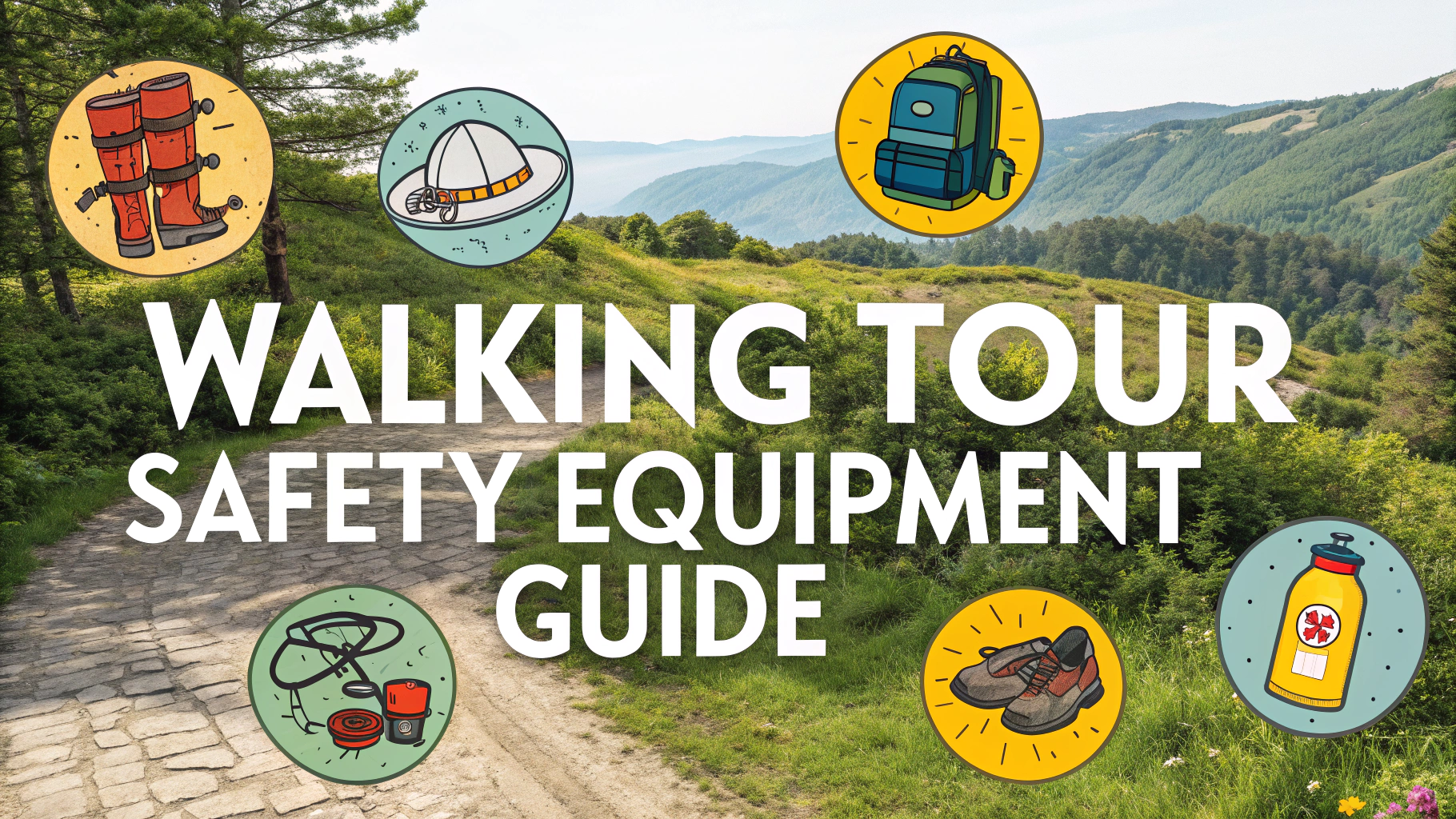
Essential Gear
- Hiking boots with good grip
- Rain gear
- Water filter or purification tablets
- Navigation tools (GPS device recommended)
- First aid kit
- Camping equipment for overnight sections
Navigation Tips
Download the official Transcarioca Trail GPX files from trilhatranscarioca.com.br before starting your journey.
Trail Markings
- Yellow and white paint marks on trees and rocks
- Diamond-shaped metal plates at key intersections
- Wooden signposts at major trail junctions
Accommodation Options
| Location | Type | Contact |
|---|---|---|
| Tijuca Forest | Camping | +55 21 2491-1700 |
| Pedra Branca | Mountain Shelter | +55 21 2333-7777 |
Safety Considerations
- Register your hike with park authorities
- Hike in groups when possible
- Carry emergency contacts
- Check weather forecasts daily
Water Sources
Water sources are available throughout the trail, but treatment is necessary.
Reliable Water Points
- Tijuca Forest Visitor Center
- Pau da Fome Center
- Mendanha Park entrance
For emergency assistance on the trail, contact the Environmental Police: +55 21 2332-5620.
Rest Stops and Facilities
Along the trail, hikers will find designated rest areas approximately every 10-15km. Major facilities are located at park headquarters and visitor centers.
Main Rest Points
- Tijuca National Park Visitor Center – Full facilities
- Pau da Fome Center – Restrooms and water
- Mendanha Base – Basic facilities
- Serra da Tiririca Information Point – Water only
Wildlife Encounters
The trail hosts diverse wildlife including howler monkeys, toucans, and various endemic species. Keep a safe distance and never feed the animals.
Cultural Highlights
- Historic coffee plantations
- Indigenous cultural sites
- Traditional communities
- Colonial-era water systems
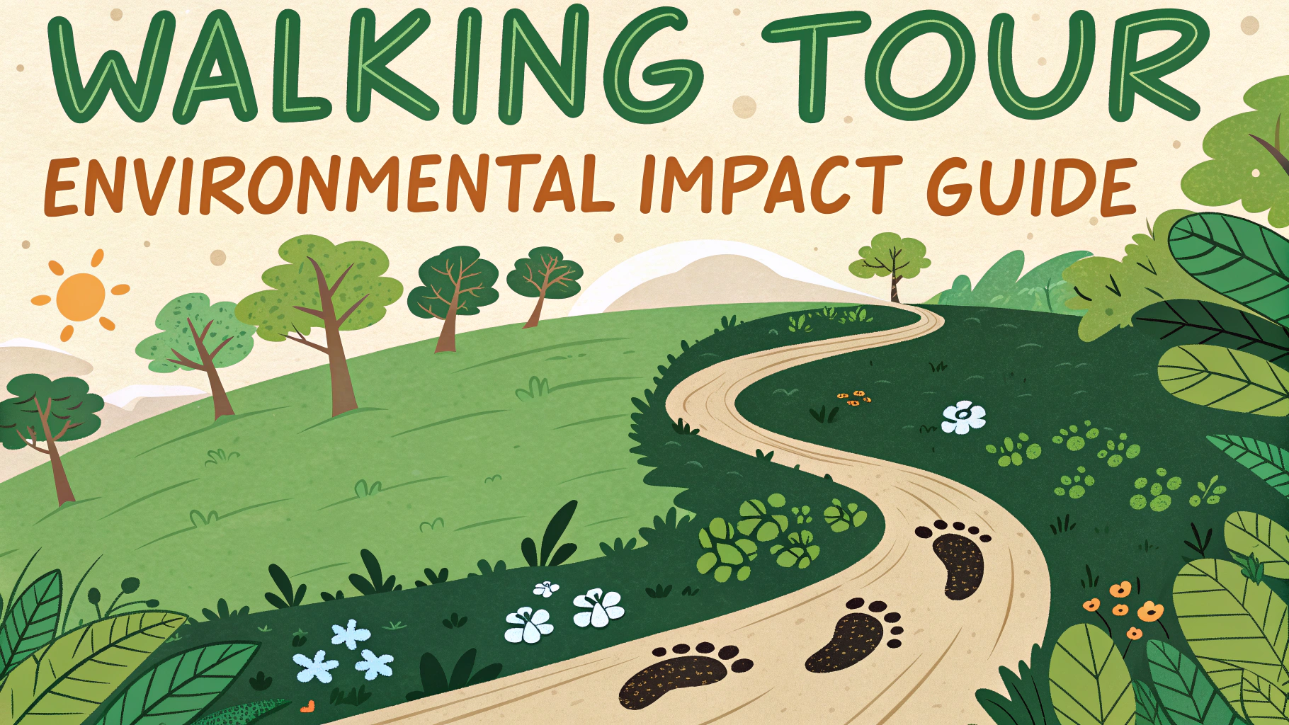
Environmental Conservation
Practice Leave No Trace principles and support local conservation efforts. The trail serves as an important ecological corridor in Rio’s urban environment.
Conclusion
The Transcarioca Trail offers a unique blend of urban and natural landscapes, showcasing Rio de Janeiro’s diverse ecosystems. Proper preparation and respect for the environment ensure a safe and memorable hiking experience.
Remember to share your experiences with the trail management team to help improve the route for future hikers.
FAQs
- What is the Transcarioca Trail and where is it located?
The Transcarioca Trail is a 180km hiking trail that crosses Rio de Janeiro from east to west, connecting Barra de Guaratiba to Morro da Urca. It passes through multiple conservation areas and provides stunning views of Rio’s landscapes. - How long does it take to complete the entire Transcarioca Trail?
The complete trail typically takes 7-10 days to complete for experienced hikers. However, it can be broken down into smaller sections for day hikes or shorter multi-day trips. - Do I need a guide to hike the Transcarioca Trail?
While the trail is marked with yellow and white blazes, first-time hikers are recommended to use a guide due to security concerns in certain urban areas and the complexity of some trail sections. - What are the best seasons to hike the Transcarioca Trail?
The best time to hike is during the dry season from April to October. Summer months (December to March) can be extremely hot and have frequent afternoon thunderstorms. - What kind of terrain will I encounter on the trail?
The trail includes various terrains including urban paths, forest trails, rocky sections, steep climbs, and coastal paths. Some sections require scrambling and basic climbing skills. - What wildlife might I encounter on the Transcarioca Trail?
The trail passes through Atlantic Forest habitat where you might see marmosets, toucans, butterflies, and various bird species. Occasionally, hikers might encounter snakes and large lizards. - Where can I find accommodation along the trail?
Accommodation options include hostels in urban areas, camping at designated sites within parks, and simple shelters along some sections. Pre-planning accommodation is essential. - What should I pack for the Transcarioca Trail?
Essential items include water, reliable hiking shoes, rain gear, sun protection, first aid kit, map/GPS, sufficient food, and camping gear if planning overnight stays. - Are there water sources along the trail?
There are natural water sources along the trail, particularly in forest sections, but water treatment is necessary. Urban sections have access to shops and water points. - Is the trail well-marked and maintained?
The trail is marked with yellow and white blazes and maintained by volunteer groups. However, some sections may have unclear markings or overgrown vegetation, especially during rainy seasons.